Tuesday, April 30, 2013

Bald Mountain Summit Hike in Utah's High Uinta Mountains


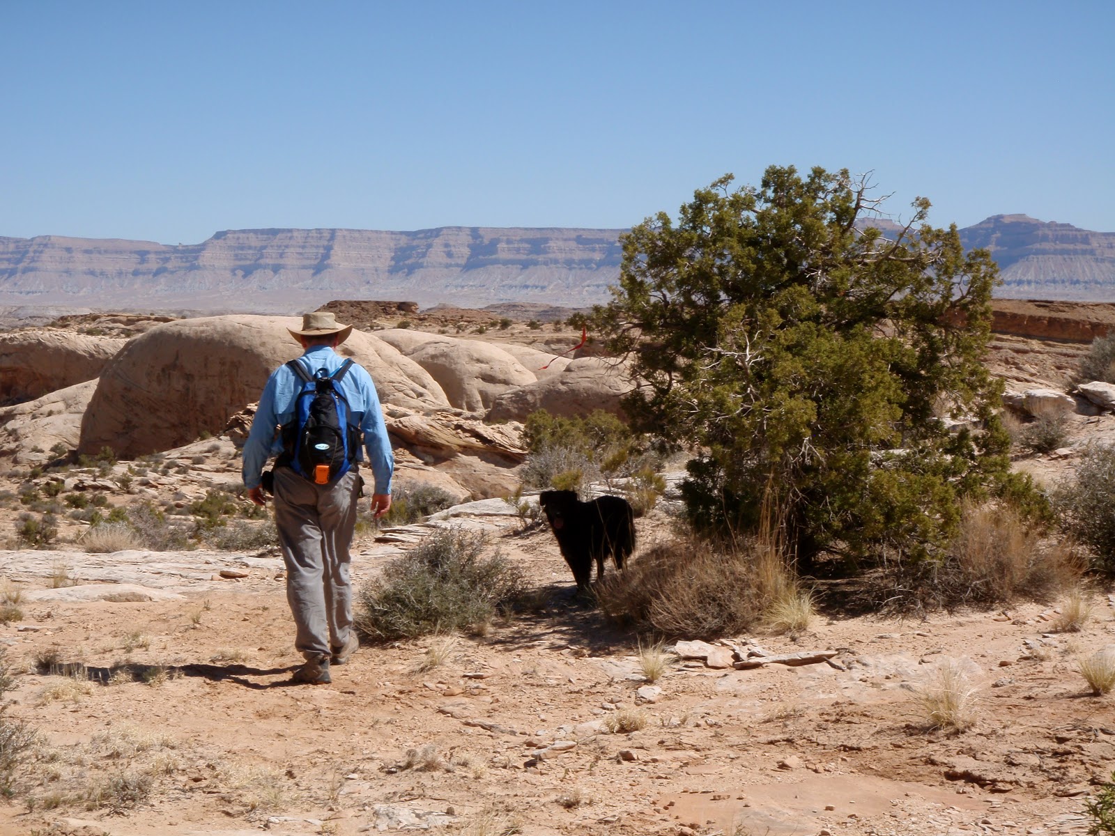
         On a chilly August morning Tim and I hiked the trail to Bald Mountain Summit in Utah's High Uinta Mountains.  At an elevation of 10,700 feet, the trailhead is located near the top of a mountain pass along Mirror Lake Highway.
        We walked through scrubby vegetation at tree-line and then trekked along knife-edged cliffs.  We picked our way over a jumble of boulders scattered like building blocks kicked by a petulant child. Finally we traversed the ridge line through open 
country to the summit.

Ascending the "building block" maze.
Tim snapped this photo from the top as I descended the trail.
(Find my red jacket to the left of the red arrow.)

Not for the acrophobic: a friend of ours from Pennsylvania
discovered his new-found fear of heights
while hiking this portion of the trail.
               At the start of the two mile trail I stopped several times to catch my breath.  But after adjusting to the altitude it was an easy ascent to the summit.   At 11,943 feet Bald Mountain Summit is the highest peak in the western Uintas.  The views from the summit are worth every step—a 360 degree panorama of lakes, meadows and peaks.  

Our summit view of lakes and distant peaks.

         The High Uintas are located in eastern Utah, south of the Wyoming border.  This outdoor paradise is popular with backpackers, horsepackers, fishermen, ATVers and snowmobilers.  Learn more about the Uintas by visiting this website:  http://www.utahwild.com/mountains/uintas/
        Read all about the Bald Mountain Summit trail here: http://climb-utah.com/Uinta/bald.htm

A great place to be; Rita on the Bald Mountain Summit.

Tim, on the broad rocky field of Bald Mountain's summit.

Monday, April 22, 2013

Exploring Lewisburg, West Virginia


        Layered blue-green mountains and fields bursting with wildflowers surrounded me as I drove through Greenbrier County on my way to Lewisburg, West Virginia. 
My destination this evening was the 170 year-old General Lewis Inn, perched on a hilltop at the edge of town.  I checked into my second floor room and stepped back in time; the beds are 100 years old, the walls uneven, the floors creaky.  But still, the room radiated a certain old-world charm.  After settling in I walked downstairs to the candlelit dining room.
I ordered the Chicken Randolf entree—a boneless chicken breast stuffed with country ham, swiss cheese and herbs, and served with a medley of sauteed vegetables.  For dessert I enjoyed a chocolate sundae and a smooth cup of coffee.  


"Country roads, take me home."
Picture yourself here, on the country lanes near Lewisburg.

                                                              ****

I woke at 2:00 a.m. to the sounds of wind sighing through the shutters and rain gushing over the gutters.  I listened for over an hour before falling back to sleep.  I woke again at 8:30; it felt good to sleep in on this water-logged morning.
Breakfast in the downstairs dining room—French toast with spiced apples and grits—was every bit as delicious as last night’s dinner. 


General Lewis Inn, 19th century excellence.

       After checking out of the General Lewis I drove straight to Lost World Caverns, five miles north of town.  The caverns offer a self-guided tour; you’re given a flashlight and a brochure and you enter by descending a steep and slippery pathway to the cave’s mouth.  
Walking the half mile path, I marveled at the stalagmites and stalactites, their calcite deposits sparkling like jewels.  I spent 40 minutes walking the paths and in all that time no one else appeared.  All alone in the cave I heard the splash of every falling water drop, the echo of every tumbling pebble—and I imagined the whole thing crashing down around me. 

 Focusing my attention elsewhere I spied a beam of light streaming from a hole 120 feet above the cave’s floor.  My cavern brochure told this story:  “A farmer who lived here 80 years ago used to throw his dead cows down the hole.  He said to a neighbor: ‘That danged hole never seems to fill up.’  So the neighbor threw a rope down the hole, rappelled down and found this amazing cave.”   I agree, Lost World Caverns is an amazing place and well worth a visit.


One of the walkways through Lost World Caverns—
kind of creepy when you're here all by yourself.

The "War Club" stalagmite.

30 ton stalactite.

The "Wedding Cake" formation.
        Returning to Lewisburg I investigated the downtown shops and restaurants.  I bought two novels in the Open Book.  I slurped homemade split pea soup in The Wild Bean.  As I strolled the sidewalk other shops and eateries called out to me but I didn’t have the time to linger.
Leaving town I noticed signs pointing to a Civil War Cemetery and followed the arrows to a gated patch of grass between a quarry and a farmer’s field.  There, under a mound in the shape of a cross, lie ninety-five unknown Confederate Soldiers.  Gnarled old trees stand guard over the soldier’s graves.  It’s a somber place, a fitting end to my Lewisburg tour on this cool and dreary day.  


The only acknowledgement for 95 unknown souls.

Cross-shaped burial mound in Civil War Cemetery.
                                                              ****


Read about the General Lewis Inn, Lost World Caverns and historic Lewisburg, West Virginia by browsing these websites:

Tuesday, April 9, 2013

Amethyst Lake Trail in Utah's High Uinta Mountains


Christmas Meadows Campground.  Sounds nice, doesn’t it?  We arrive on a mid-August day at this forest service campground in Utah’s High Uinta Mountains, expecting to find an angelic peaceful setting as described in our guidebook: 
        “Set in a beautiful high alpine meadow with spectacular views of the surrounding mountains, anglers like to pass their time fishing the Stillwater Fork of the Bear River.”
    But instead of alpine bliss we find an over-crowded campground with multiple families sharing the same sites, RVs—some as big as houses—blocking the view, kids and adults on ATVs and dirt bikes circling the campground over and over and over—making noise, kicking up dust and dirt.  
This was not the scenario we intended for our weekend high-country getaway and so we leave Christmas Meadows and drive a dirt road following the path of the Stillwater River.  Here we find dispersed isolated campsites and the tranquil setting we crave.
We unload our gear and set up camp.  Then Tim assembles his fly rod and we scramble down the riverbank to search for trout.  In the meadow across the river a cow moose and her calf step into the clearing.  They linger for a brief moment and cast a glance in our direction before leaping into the woods.  The meadow is filled with broad-tailed hummingbirds and we’re delighted as they zip overhead looking for nectar-bearing flowers.
The search for trout is successful.  Tim catches cutthroats in every section of the stream.  We return to our campsite for dinner by a blazing campfire before turning in under a star-studded sky.


This is more like it: a campfire brightens
our secluded campsite near the
Stillwater Fork of the Bear River.

                                                           ****

Our intentions of an early-morning start on the Amethyst Lake Trail are thwarted by the cold; it’s too tempting to stay snuggled in our sleeping bags.  By 9:30 a.m. we’re finally on the trail.  The 6.3 mile trail climbs steadily through the woods, past a cascading stream through mountain meadows, and finally to the lake.  The trail is heavily used by both people and horses.  In the meadow we pass a group of horse-packers as a thunderstorm rolls in.  Soon we’re huddled under a thicket of pines to escape the thunder, lightning and driving rain.


Horses take a break along the
Amethyst Lake Trail.
         The storm abates and we continue on.  We pass an emerald lake and spy fish hitting the surface—a good sign.  It’s another mile to Amethyst Lake and we arrive as another storm hits.  Amethyst Lake is surrounded by craggy peaks, the water a deep olive green.  The lake, although not purple, is still a gem. 


Amethyst Lake on a stormy day.
The lake hosts a healthy population of trout.
  Fish are jumping and Tim catches a large brook trout on his first cast.  It’s late afternoon when we leave the lake.  On the return to the trailhead we hike under a steady downpour as the sky explodes with flashes of lightning and echos with peals of thunder.  Four hours later we arrive at our soggy campsite.  Skies clear in time for dinner, and another roaring campfire warms our spirits after this tiring but exhilarating alpine adventure.


Tim fishes one of the meandering streams along the 6.3 mile
Amethyst Lake Trail.

                                                           ****

         I began this story with the description of a campground that didn’t meet our expectations.  Readers, after reading a glowing review of a vacation destination, have you ever been sorely disappointed by what you found? 

Read more about the High Uinta Mountains by visiting this website:  http://www.utah.com/playgrounds/uinta_mountains.htm

Monday, April 1, 2013

Horsethief Canyon Trail, Annie's First Desert Hike


Annie surveys her southeast Utah kingdom.

Annie’s Story:
Last May, on a cool spring night, four tiny puppies were dumped and deserted on a front porch in Price, Utah.  The homeowner bottle-fed the pups for a couple weeks before taking them to the animal shelter, where they were weaned and put up for adoption.
During this time Tim and I contemplated adding a canine hiking and fishing companion to our household.  A search on petfinder.com revealed two “Border Collie mix” puppies at the local shelter.  We dillydallied, listing the pros and cons of dogs.  We've only ever had cats and cats are easy.  Did we really want to take on the responsibility of a puppy?  Finally, two days before leaving on a long vacation, we visited the shelter.  After playing with a little black pup and her brown-and-white brother we decided . . . not to decide.

 Two weeks later and back home, we again considered the possibility of a puppy.  With no more long trips planned for the summer this would be an ideal time to test the waters of dog ownership.  "If not now, when?".  Tim remembered the black pup fondly and encouraged me to check on her.  I scanned petfinder.com and the puppy—now 11 weeks old and given the name “Shiloh”—was still listed on the website.
I drove to the shelter and walked to the cages.  “Shiloh” sat by her door.  She wagged her tail, smiled to reveal a bright pink tongue, and seemed a happy and confident little pup.  A shelter employee gave me her history: “Shiloh” had been at the shelter longest of the four siblings from the abandoned litter.  
“Why didn’t anyone take her?”  
“Except for purebred black labs, people don’t want black dogs.”
        Really?  This was the first I’d ever heard of any bias against black dogs.  The caretaker admitted that although the four puppies shared border collie characteristics, without an idea of who their parents were no one really knew their pedigree.  Her best guess for “Shiloh” was a border collie/lab mix.   
“How big will she get?” I asked.
“Probably about 30-35 pounds,” was the answer.  Sounded about right to me.
This time I decided that “Shiloh” had been homeless long enough.  I adopted her.
“Shiloh” became “Annie”.  She’s now 11 months old and 47 pounds.  We believe she has Border Collie blood because of her herding tendencies and her intelligent eyes, but otherwise Annie's heritage is a mystery.  Friends tell us that we should get her DNA tested so we'll know “for sure” what kind of dog we have.  But I love a good mystery and we’re not going to do it.  
Part of Annie’s charm is that she could be anything; sharing the past eight months with her has been like opening a surprise package every day.  We’ve been delighted to watch Annie grow into her “border collie/black lab/blue heeler/australian shepherd/husky” body and yes, she’s become the happy and confident dog I recognized in a little puppy that hot summer day at the shelter.  I think we’ll keep her.

                                                            ****


The start of Horsethief Canyon trail.  


Rita and Annie pound the dusty path into the canyon.

        With sapphire skies and a temperature of 68 degrees Easter Sunday was the perfect day to introduce Annie to the sandy washes and slickrock surfaces of desert hiking.  Horsethief Trail, in southeastern Utah's canyon country, is a dog-friendly trail in a wilderness study area.  
        While March 31st is too early for wildflowers, the cooler temperatures were enjoyed by us and by Annie—her black coat absorbs the sun's rays like a tar-covered road on a hot summer's day.


In my first Horsethief Canyon post I described the harrowing
experience of losing the trail.   This time we tied red surveyors tape to
junipers as we left the wash (left center).  Easier to see than the cairns,
the fluttering tapes guided us from the rocky outcrops back into the canyon.
We removed the tapes and packed them out with us on our return.

High above the canyon,
Annie and Rita break for lunch on "table-top" rock.


Tim and Annie hike back to the trailhead.  Even on this cool day
Annie used every scrap of shade in an effort to escape the sun.

       Read all about the Horsethief Canyon hike—and view desert wildflower photos—on my previous post:  http://onedayinamerica.blogspot.com/2012/04/horse-thief-canyon-trail-in-utahs-san.html


       Horsethief Canyon is part of Utah's San Rafael Swell, a remote desert region in southeastern Utah.  You can learn more by visiting these websites:  http://www.sanrafaelswell.org/indexnew.html
http://www.blm.gov/ut/st/en/fo/price/recreation/SanRafaelDesert.html